WEA-Obs
Mapping illicit hubs
This illicit hub mapping initiative is a flagship product of the Global Initiative Against Transnational Organized Crime’s latest regional observatory, the Observatory of Illicit Economies in West Africa. The exercise was designed with two distinct phases.
The first maps illicit flows through a particular country and identifies key hotspots, transit points and zones of criminality, particularly in conflict areas/areas where illicit flows feed into conflict dynamics, in the West Africa region.
The second phase of the project entails further analysis of each illicit hub, and its relationship with regional stability. In order to identify the illicit hubs that are most important in terms of their knock-on effect on conflict and stability across West Africa, a quantitative metric has been developed: the Illicit Economies & Instability Monitor (IEIM), which provides a score out of 30 for each illicit hub. The monitor comprises three components: violence and instability, crime-conflict links, and accelerators. The IEIM enables the identification of areas where illicit markets play the most important role as vectors of instability and conflict in the region, empowering policymakers to prioritize specific areas for targeted action.
Illicit hubs
Hotspots
Hotspots are defined as places where there is a strong presence of criminal actors, which may be involved in various kinds of illicit markets and criminal activities, and which may have the support of people with political power. These should be understood as hubs of illicit activity that feed into national and regional instability/security dynamics.
Next - transit points Skip intro and explore the mapIllicit hubs
Transit points
Transit points are defined as any location, including but not limited to border crossings (both formal and informal), seaports, airports and trafficking corridors, leveraged for the trafficking of illicit commodities. Underpinning the connectivity integral to illicit hubs is the infrastructure of mobility, namely roads, seaports and airports, which connects the local to the regional space, and beyond it to the international, connecting criminal networks to international supply chains and marketplaces, and facilitating connections between criminal actors.
Next - crime zones Skip intro and explore the mapIllicit hubs
Crime zones
Crime zones are defined as areas with a high concentration of various types of criminal activities and actors as a result of weak and fragmented security and other institutions. Ethnic divisions or tensions may contribute to the situation. Crime zones are broader geographic areas than hotspots, and may encompass a number of hotspots.
Skip intro and explore the map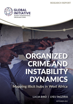
Organized crime and instability dynamics: mapping illicit hubs in West Africa
In addition to the interactive map, the GI-TOC has published an accompanying report providing further analysis and depth to the findings.
Explore the map